Poking around on the internet a couple months ago, I happened across a mention of Otterbein Cemetery, also known as Buzzard's Roost Cemetery, in SE Union County. Intriqued by the name(s), I added it to my list of 'places to see/visit'. Today was the day. I was hoping the leaves of autumn would provide for some colorful snaps, but they were just past prime. So I looked for other photo ops.
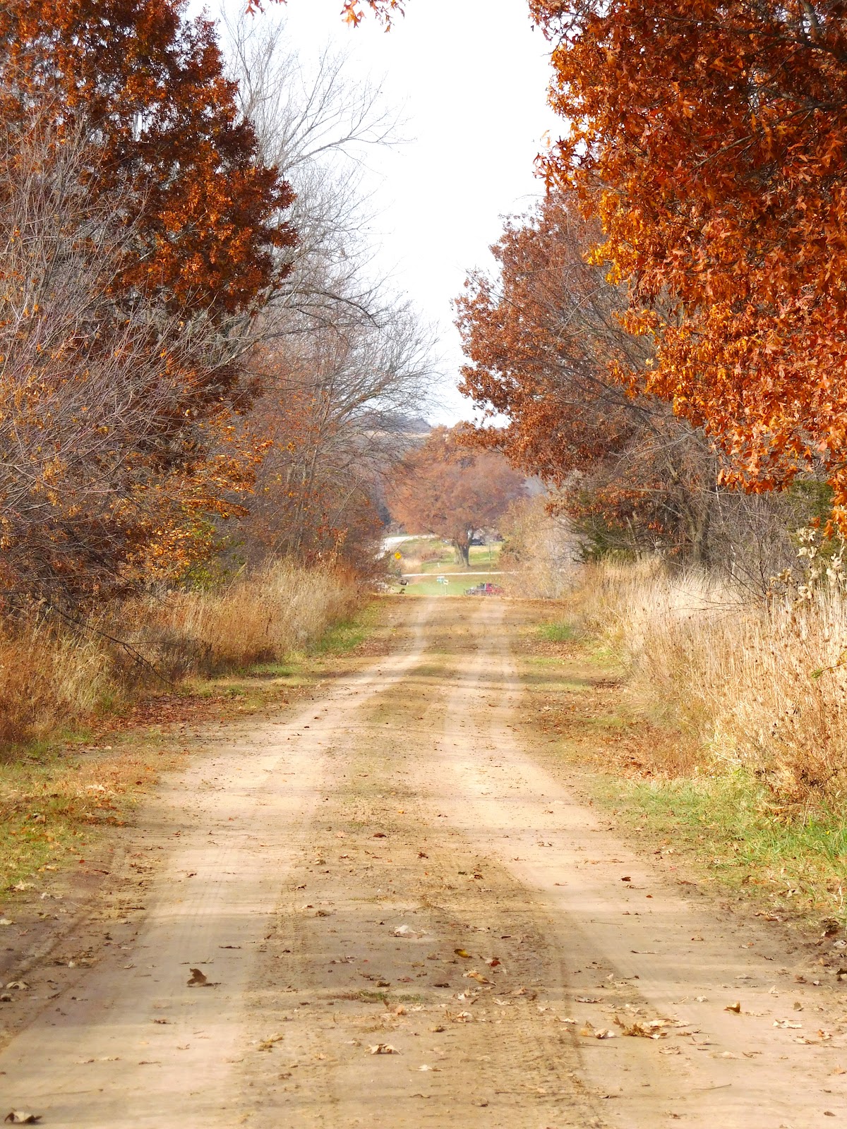
I can never resist a dirt road, even one marked "dead end".
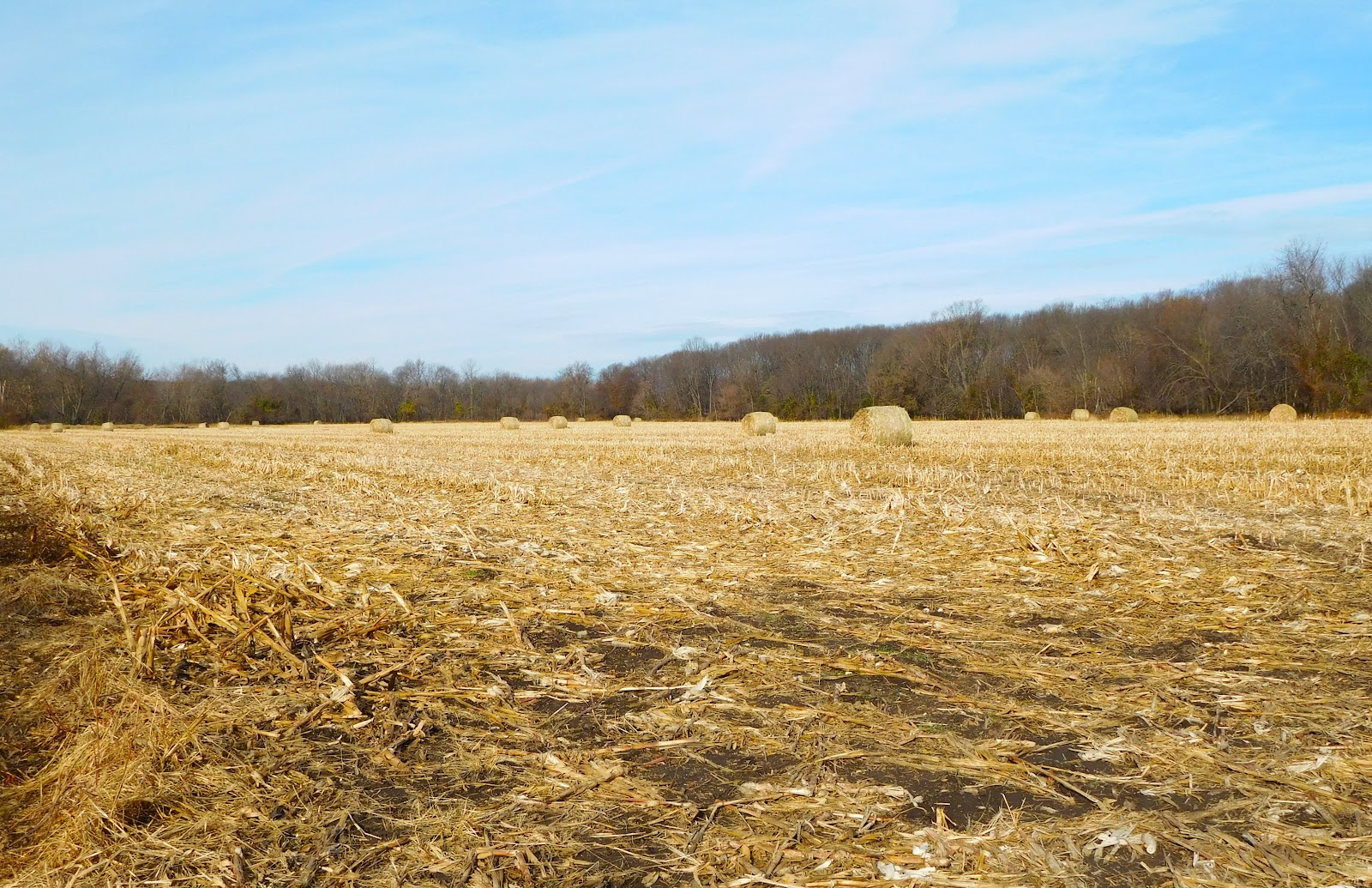
I turned onto the first one I saw. It ended in a cornfield which had been harvested and baled.

And crossed a small creek.
Jones Township is one of many timbers, windy roads, rollercoaster hills, river valleys - i.e., a few of my favorite things.
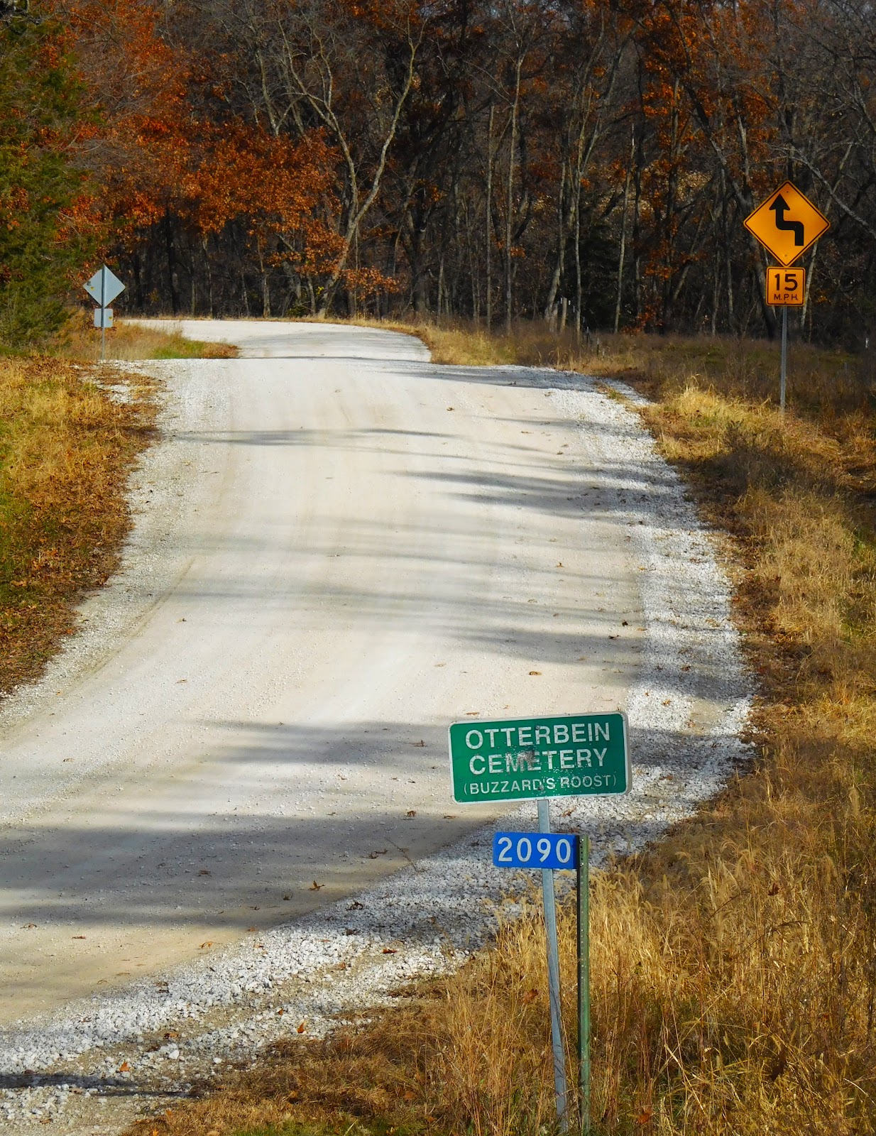
I assumed Otterbein Cemetery was named for some of the first family members buried there, but I didn't see any graves with that name.
A bit of research shows me that it most likely was named for the Otterbein United Brethren Church once located in the same area.
William Aughterbine (Otterbein) of Germany was the founder of the Society of United Brethren. Settlers in Chesterfield, Indiana organized a United Brethren Church and named it after the society's founder, Otterbein. There is an Otterbein Cemetery in Madison County, Indiana.

Looking into Buzzard's Roost Cemetery from the lane leading to it.
That dead tree was interesting.

I couldn't help thinking, "I would as soon have this tree as a grave marker as one made from granite."
The top is reminiscent of a woodpecker - perhaps one that once made the tree its home?

Looking into the woods on the east side of the cemetery where there were still some pretty colors.
Continuing North on Umbrella Avenue, at the t-intersection with 197th Rd., I planned to go left. Then decided to go right thinking it would take us to Talmage Hill Park.

Instead I was happily surprised to find us at Thayer Lake Park.
I remember going here when I was young. In my memory there were a number of cottages around the lake.
US Hwy 34 went past the lake. There is still a small stretch of old 34 on the north side.

The narrow gravel road on the south side of the lake takes you to the campground area.
It seemed quiet and secluded this morning with only one camper there.
Back on new US 34 we went west to Talmage Road and North to ...

... Mt. Pisgah Road. Still dirt, just as it was sixty years ago when, on a Sunday afternoon drive, Dad showed us the Mt. Pisgah cemetery where so many Mormons were buried after ending their journey on the way to Utah.
I blogged about a more recent visit to Mt. Pisgah here: https://rilynam.blogspot.com/2017/11/revisiting-another-old-sunday-drive-spot.html

Looking downriver from the bridge across the Grand River. The old iron bridge has been replaced with a new concrete one - not nearly as picturesque as the old one, but the river remains the same.

Some Grand River Valley bottom farmland.
With a few red sumacs for color.

This mowed, well kept, pathway was east of the bridge on the north side of the road.
It looked so inviting. What was it for? Where did it lead? Unfortunately it was posted: "No Trespassing". For a change, I obeyed.

Doesn't this look like the canopy of a forest?
It is actually moss growing on the concrete bridge along the side.
It was so unlike any moss I have ever seen before.
Pretty and amazing.
Now, turn around and head back on Mt. Pisgah Road.
Toward home and the end of a fun, adventuresome morning.
So, so, satisfying.

I love the colors of fall.
I was made for Autumn Time .....
No comments:
Post a Comment