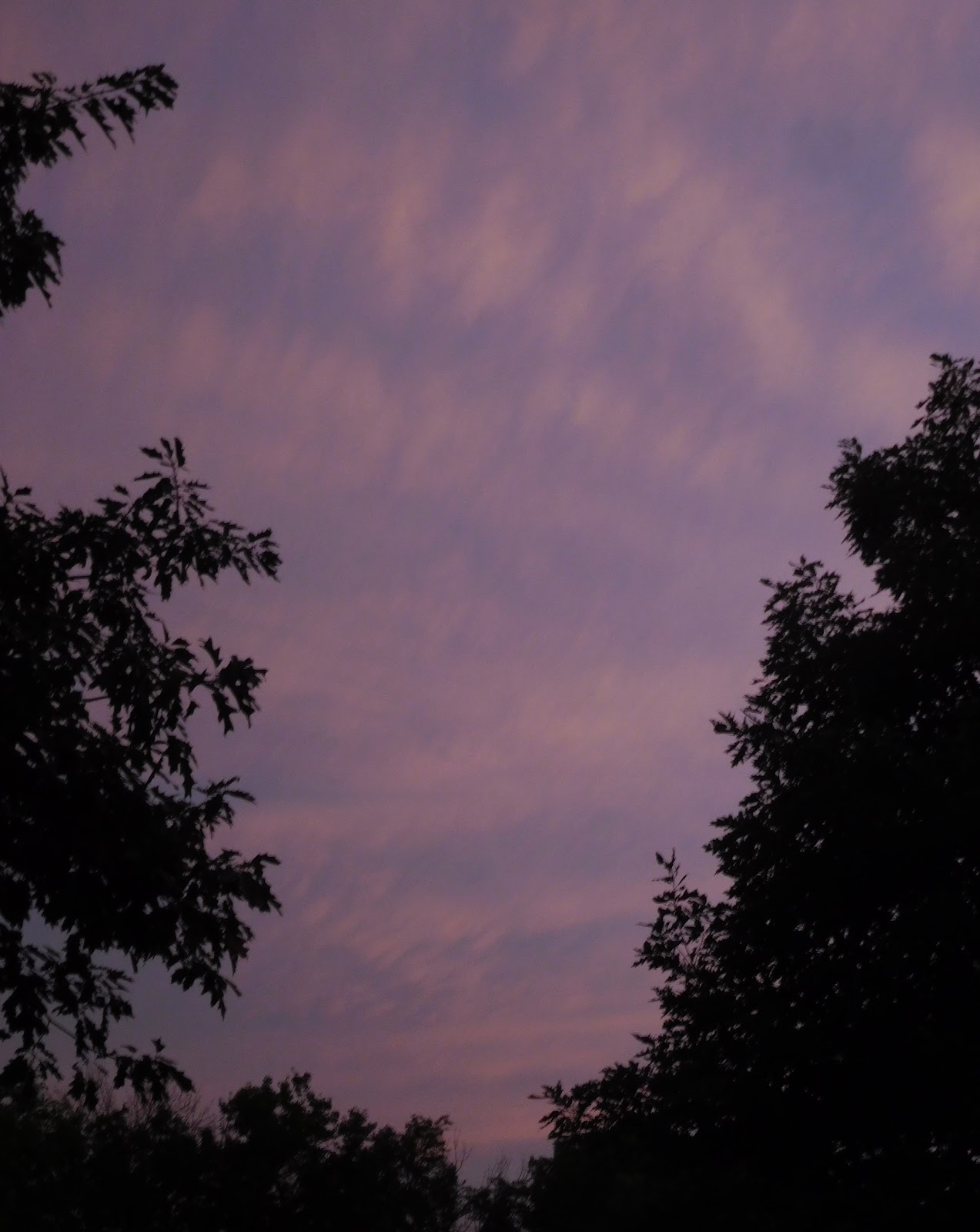
My photos do not accurately portray how the skies looked early last Monday morning when we were under a severe thunderstorm warning. The colors were more the sickly yellow-green which can denote that conditions are right for a tornado. There was thunder in the distance and radar showed storms moving in our direction. These are the cloud photos I in the order taken:
Possibly mammaus clouds but already showing some separation. These are usually found under thunderstorm anvil clouds.
Cirrocumulus - also known as popcorn clouds - for obvious reasons.
Undulatus clouds in wavy rows.
Cumulonimbus rain clouds still in the far distance looking northwest over the pond.
As ominous as the sky looked, the storms moved to the southeast before they got here. We had a little wind and a smattering of rain, but not enough to measure. So far the lawns are still green. Today is supposed to be the last one of oppressive heat - at least for awhile.


No comments:
Post a Comment